| |
|
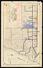 |
| Map showing completed canals in Southern Drainage District to June 1, 1934. |
|
|
| Map showing completed canals in Southern Drainage District to June 1, 1934. |
|
 |
| Map showing location of game breeding grounds. |
|
|
| Map showing location of game breeding grounds. |
|
|
 |
| Map showing results of examination of the Tamiami Trail lands in Dade County, Florida, to accompany report dated March 23, 1917. |
|
|
| Map showing results of examination of the Tamiami Trail lands in Dade County, Florida, to accompany report dated March 23, 1917. |
|
 |
| Map showing results of exploration and examinations in Lee, Monroe and Dade Counties, Florida. |
|
|
| Map showing results of exploration and examinations in Lee, Monroe and Dade Counties, Florida. |
|
|
 |
| Map showing special road and bridges, Cape Sable District, Monroe County, 1920 |
|
|
| Map showing special road and bridges, Cape Sable District, Monroe County, 1920 |
|
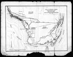 |
| Maps and documents relating to property in the proposed town of Poinciana |
|
|
| Maps and documents relating to property in the proposed town of Poinciana |
|
|
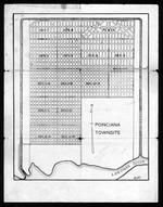 |
| Maps and documents relating to property in the proposed town of Poinciana |
|
|
| Maps and documents relating to property in the proposed town of Poinciana |
|
 |
| Maps and letter relating to Cape Sable and Monroe County, Fla., 1927-1930. |
|
|
| Maps and letter relating to Cape Sable and Monroe County, Fla., 1927-1930. |
|
|
 |
| Maps of Lands Vulnerable to Sea Level Rise |
|
|
| Maps of Lands Vulnerable to Sea Level Rise |
|
 |
| Maps of Lands Vulnerable to Sea Level Rise |
|
|
| Maps of Lands Vulnerable to Sea Level Rise |
|
|
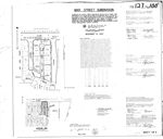 |
| Mar Street Subdivision (Sheet 1 of 2) |
|
|
| Mar Street Subdivision (Sheet 1 of 2) |
|
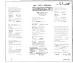 |
| Mar Street Subdivision (Sheet 2 of 2) |
|
|
| Mar Street Subdivision (Sheet 2 of 2) |
|
|
 |
|
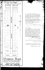
| Mariana Place |
|
 |
|
MB 1054
( 3 volumes ) |
|
|
 |
|
MB 1088 1
( 3 volumes ) |
|
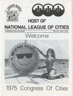 |
| National League of Cities Convention 1975 |
|
|
| National League of Cities Convention 1975 |
|
|
 |
|
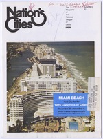
| Nation's Cities |
|
 |
| Media Clippings Featuring Miami Beach |
|
|
| Media Clippings Featuring Miami Beach |
|
|
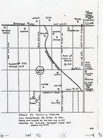 |
| Melvin S. Mishler's hand drawn map of area circa 1900 |
|
|
| Melvin S. Mishler's hand drawn map of area circa 1900 |
|
 |
| Miami 1920's photo album II |
|
|
Miami 1920's photo album II
( 154 volumes ) |
|

