|
|
   |
Go to thumbnail:
|
|
|
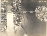
| Photograph, recto: [Aerial view of the Di Lido, Rivo Alto and Belle Islands] |

|
| Photograph, verso: Abrams Aerial Survey Corp. |
|
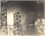
| Photograph, recto: [Aerial view of the Di Lido, Rivo Alto and Belle Islands] |

|
| Photograph, verso: Abrams Aerial Survey Corp. |
|
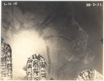
| Photograph, recto: [Aerial view of the north end of Di Lido, Rivo Alto and Belle Islands] |
|
| Photograph, verso: Abrams Aerial Survey Corp. |
|
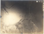
| Photograph, recto: [Aerial view of Biscayne Bay north of the Venetian Islands] |
|
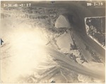
| Photograph, recto: [Aerial view of Fisher Island and Norris Cut] |

|
| Photograph, verso: Abrams Aerial Survey Corp. |
|
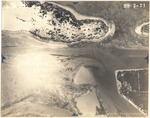
| Photograph, recto: [Aerial view of Fisher Island, Dodge and Sam Islands, and Norris Cut] |

|
| Photograph, verso: Abrams Aerial Survey Corp. |
|
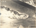
| Photograph, recto: [Aerial view of Causeway Terminal Island, Fisher Island, Dodge and Sam Islands, and Norris Cut] |

|
| Photograph, verso: Abrams Aerial Survey Corp. |
|
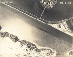
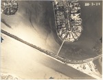
| Photograph, recto: [Aerial view of Causeway Terminal Island, Dodge and Sam Islands and County Causeway] |

|
| Photograph, verso: Abrams Aerial Survey Corp. |
|
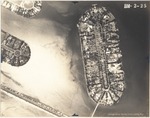
| Photograph, recto: [Aerial view of Causeway Terminal Island, south end of Star Island and County Causeway] |
|
| Photograph, verso: Abrams Aerial Survey Corp. |
|
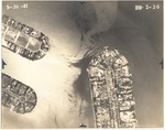
| Photograph, recto: [View of County Causeway, Star Island, Palm Island and Hibiscus Island] |

|
| Photograph, verso: Abrams Aerial Survey Corp. |
|
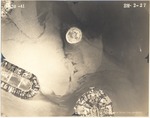
| Photograph, recto: [View of Star Island, Palm Island and Hibiscus Island] |

|
| Photograph, verso: Abrams Aerial Survey Corp. |
|
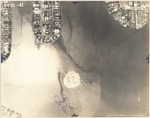
| Photograph, recto: [View of the Flagler Memorial Island, Star Island, Palm Island and Hibiscus Island] |

|
| Photograph, verso: Abrams Aerial Survey Corp. |
|
| Photograph, recto: [View of the Flagler Memorial Island and the Venetian Islands] |

|
| Photograph, verso: Abrams Aerial Survey Corp. |
|
|


