|
|
|
|
   |
Go to thumbnail:
|
|
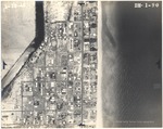
|
| Photograph, recto: [Aerial view of Surfside, Florida, and the Tatum Waterway] |
|
| Photograph, recto: Aerial Survey Map Abrams Aerial Survey Corp. Lansing, Michigan |
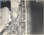
|
| Photograph, recto: [Aerial view of Surfside, Florida, and the Tatum Waterway] |
|
| Photograph, recto: Aerial Survey Map Abrams Aerial Survey Corp. Lansing, Michigan |
|
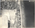
| Photograph, recto: [Aerial view of Surfside, Florida, and the Tatum Waterway] |
|
| Photograph, recto: Aerial Survey Map Abrams Aerial Survey Corp. Lansing, Michigan |
|
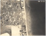
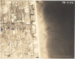
| Photograph, recto: [Aerial view of Surfside, Florida] |
|
| Photograph, recto: Aerial Survey Map Abrams Aerial Survey Corp. Lansing, Michigan |
|
| Photograph, recto: [Aerial view of Surfside, Florida] |

|
| Photograph, recto: Aerial Survey Map Abrams Aerial Survey Corp. Lansing, Michigan |

|
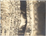
| Photograph, recto: [Aerial view of oceanfront buildings and estates in Surfside, Florida] |

|
| Photograph, recto: Aerial Survey Map Abrams Aerial Survey Corp. Lansing, Michigan |
|
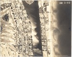
| Photograph, recto: [Aerial view of the La Gorce Country Club, Indian Creek, Collins Ave and oceanfront buildings] |
|
| Photograph, recto: Aerial Survey Map Abrams Aerial Survey Corp. Lansing, Michigan |
|
| Photograph, recto: [Aerial view of the La Gorce golf course, Indian Creek, Collins Ave and oceanfront buildings] |

|
| Photograph, recto: Aerial Survey Map Abrams Aerial Survey Corp. Lansing, Michigan |
|
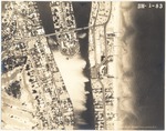
| Photograph, recto: [Aerial view of La Gorce golf course, Indian Creek, Collins Ave, Allison Island and oceanfront buildings] |

|
| Photograph, recto: Aerial Survey Map Abrams Aerial Survey Corp. Lansing, Michigan |
|
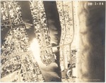
| Photograph, recto: [Aerial view of La Gorce Island, Allison Island, Collins Ave and oceanfront buildings] |
|
| Photograph, recto: Aerial Survey Map Abrams Aerial Survey Corp. Lansing, Michigan |
|
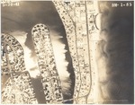
| Photograph, recto: [Aerial view of La Gorce Island, Allison Island, Collins Ave and oceanfront buildings] |
|
| Photograph, recto: Aerial Survey Map Abrams Aerial Survey Corp. Lansing, Michigan |
|
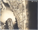
| Photograph, recto: [Aerial view of La Gorce Island, Allison Island, Normandy Isle, Collins Ave and oceanfront buildings] |
|
| Photograph, recto: Aerial Survey Map Abrams Aerial Survey Corp. Lansing, Michigan |
|
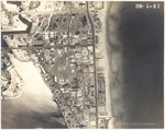
| Photograph, recto: [Aerial view of Normandy Isle, Collins Ave and oceanfront buildings] |

|
| Photograph, recto: Aerial Survey Map Abrams Aerial Survey Corp. Lansing, Michigan |
|
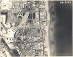
| Photograph, recto: [View of oceanfront buildings and estates. View of city garbage landfill sites] |

|
| Photograph, recto: Aerial Survey Map Abrams Aerial Survey Corp. Lansing, Michigan |
|
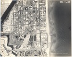
| Photograph, recto: [View of oceanfront buildings and estates. View of city garbage landfill sites] |
|
| Photograph, recto: Aerial Survey Map Abrams Aerial Survey Corp. Lansing, Michigan |
|
|


