|
|
   |
Go to thumbnail:
|
|
|
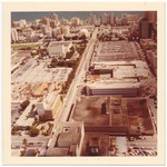
| Photograph, recto: [Aerial view of 17th Street and the Fillmore facing east] |
|
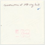
| Photograph, verso: Construction of Miami Beach City Hall |
|
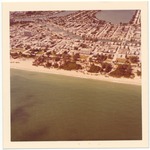
| Photograph, [Aerial view of Miami Beach and Indian Creek] |
|
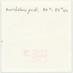
| Photograph, verso: Northshore Park 80th-85th Streets |
|
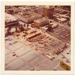
| Photograph, recto: [Aerial view of Miami Beach City Hall construction and Macy's facing south] |
|
| Photograph, verso: Construction of Miami Beach City Hall |
|
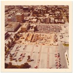
| Photograph, recto: [Aerial view of Miami Beach City Hall construction and Macy's facing west] |
|
| Photograph, verso: Construction of Miami Beach City Hall |
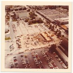
|
| Photograph, recto: [Aerial view of Miami Beach City Hall construction and the Fillmore] |
|
| Photograph, verso: Construction of Miami Beach City Hall |
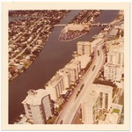
|
| Photograph, recto: [Aerial view of Indian Creek, Collins Avenue, 63rd Street Bridge, and Allison Island] |
|
| Photograph, verso: Allison Island, 63rd St Bridge, Collins Ave |
|
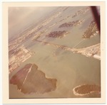
| Photograph, recto: [Aerial view of MacArther Causeway, Star Island, Dodge Island, Hibiscus Island, and Palm Island] |
|
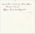
| Photograph, verso: MacArthur Causeway, Star, Palm and Hibiscus Islands before port development |
|
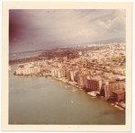
| Photograph, recto: [Aerial view of Biscayne Bay and the City of Miami Beach facing north] |
|
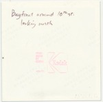
| Photograph, verso: Bayfront around 10th Street looking north |
|
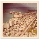
| Photograph, recto: [Aerial view of the City of Miami Beach, Biscayne Bay, Alton Road and Belle Island] |
|
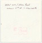
| Photograph, verso: West Ave/Alton Road around 11th Street and view north |
|
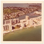
| Photograph, recto: [Aerial view of Miami Beach, Collins Avenue, Indian Creek, and Allison Island] |

|
| Photograph, verso: Oceanfront, 60-63rd Street |
|
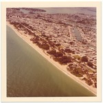
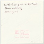
| Photograph, recto: [Aerial view of Northshore Park, Tatum Waterway, and Normandy Isle] |
|
| Photograph, verso: Northshore park N. 80 St., Tatum Waterway, Normandy Isle |
|
|


