|
|
   |
Go to thumbnail:
|
|
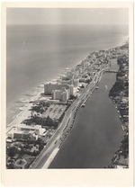
|
| Photograph, recto: [Aerial view looking south from Montmartre Motel at Forty-eighth Street]. |
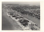
|
| Photograph, recto: [Aerial view looking south from Executive House on the ocean about Fiftieth Street]. |
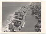
|
| Photograph, recto: [Aerial view looking south from Executive House at about Fifty-fourth street]. |
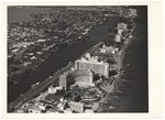
|
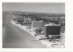
| Photograph, recto: [Aerial view of oceanfront looking north from the Fontainebleau to North Beach]. |
|
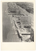
| Photograph, recto: [Aerial view of oceanfront looking south from the Doral Hotel at Fifty-fourth Street]. |
|
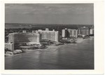
| Photograph, recto: [Aerial view looking south from the Doral Hotel at lower right, with the Montmartre Hotel, Eden Roc, and Mimosa Apartments]. |
|
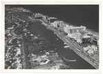
| Photograph, recto: [Aerial view from ocean looking west at the Fontainebleau, Mimosa, and Doral Hotels]. |
|
| Photograph, recto: [Aerial view over Indian Creek looking north from the Fontainebleau, showing the Mimosa and Doral Hotels and the Crystal House Condominiums]. |
|
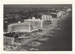
| Photograph, recto: [Aerial view of oceanfront looking north from the Fontainebleau Hotel]. |
|
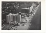
| Photograph, recto: [Aerial view north from Fifty-second Street showing the Mimosa, Doral Beach, and Executive House Hotels]. |
|
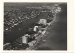
| Photograph, recto: [Aerial view of oceanfront looking north showing the Executive House, Crystal House, Imperial House, Allison Island, and North Beach]. |
|
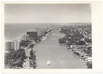
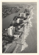
| Photograph, recto: [Aerial view over Indian Creek looking south and showing the Crystal House, Executive House, Doral, Mimosa, and the Forty-first Street Bridge]. |
|
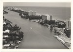
| Photograph, recto: [Aerial view of oceanfront looking north to Executive House, Crystal House, Imperial House, Allison Island, and North Beach]. |
|
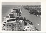
| Photograph, recto: [Aerial view over Indian Creek looking north with Executive House at the far right and Crystal House, Imperial House, and North Beach at the upper left]. |
|
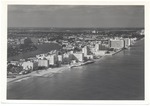
| Photograph, recto: [Aerial view looking south from Imperial House towards Crystal House, Executive House, and the Doral Beach]. |
|
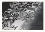
| Photograph, recto: [Aerial view looking north from the ocean around Sixty-third Street with the Gulf Stream Apartments and Allison Hotel at left; the King Cole Apartments in the background; and the Deauville and Carillon at right]. |
|
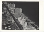
| Photograph recto: [Aerial view of oceanfront at Sixty-eighth Street, Martinique Hotel at the bottom and the Deauville and Carillon at the upper right]. |
|
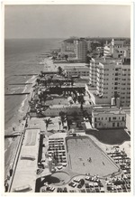
| Photograph, recto: [Aerial view of Collins Avenue north from Sixty-fifth Street showing the Monte Carlo, Sherry Frontenac, Deauville, and Carlton Hotels]. |
|
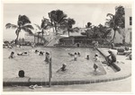
| Photograph, recto: [Deauville Hotel pool]. |
|
| Photograph, recto: [Swimmers in the Deauville Hotel pool]. |
|
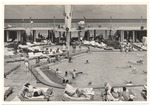
| [Photograph, recto: Sunbathing and swimming at the Deauville Hotel pool]. |
|
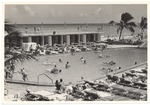
| [Photograph, recto: Sunbathing and swimming at the Deauville Hotel pool]. |
|
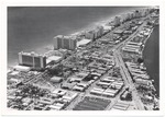
| Photograph, recto: ["Carillon to Lombardi from Indian Creek Drive" Aerial view looking south from Sixty-ninth Street]. |
|
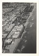
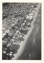
| Photograph, recto: [Aerial view of Ocean Terrace and Harding Townsite looking north from Seventy-second Street, showing bandshell, North Shore Open Space Park, city limit, and Food Fair Center]. |
|
| Photograph, recto: [Aerial view of oceanfront at north city limit, showing the North Shore Open Space Park, Biltmore Terrace Hotel (built in 1951), and Town of Surfside]. |
|
|


